Townsites
Townsites
Home NEW Updates About Us Feedback Historic Sites Consultants Contact Us Terms/Conditions
|
JERRAMUNGUP Jerramungup is a small, neat, modern wheat and sheep town on the edge of the Fitzgerald River National Park, with good tourist facilities which has developed since the 1950s when it was opened up as a War Service Land Settlement area. Today it is a small town on the corner of the South Coast Highway and the Gnowangerup-Jerramungup Road between Perth and Esperance. The great appeal of the area is the richly diverse, and wildly beautiful, Fitzgerald River National Park which lies to the south of the town. LocationJerramungup is located 440 km south east of Perth on the edge of the Fitzgerald River National Park. It is 181 km north east of Albany. |
ENTRANCE STATEMENT JERRAMUNGUP #1 |
Origin of Name'Jerramungup' is probably a simplified pronunciation of the Aboriginal word 'yerra-mo-up' which refers to a yate tree and means "place of the tall yate trees which grow through the mist". When the explorer John Septimus Roe passed through the area in 1848 he wrote in his diary "we were gladdened by the view of a large extent of good grassy country to the N.E. lightly timbered, and at this time well watered by a river and its numerous branches. It is known to the natives as Jeer-a-mung-up." Things to See and DoJerramungup Heritage Trail All Saints Community Church Other Attractions in the AreaFitzgerald River National Park |
|
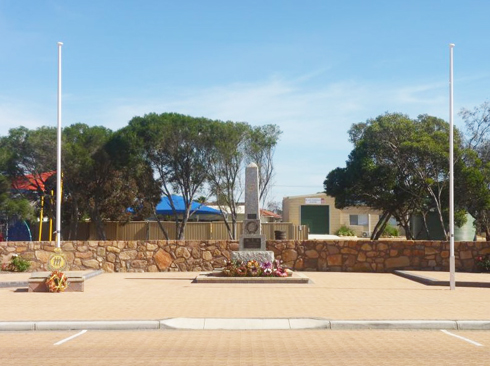
WAR MEMORIAL, JERRAMUNGUP #2 |
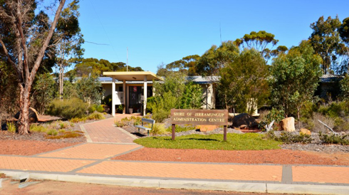
SHIRE OFFICES, JERRAMUNGUP #3 |
|
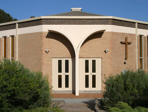
COMMUNITY CHURCH BUILDING, JERRAMUNGUP #4 |
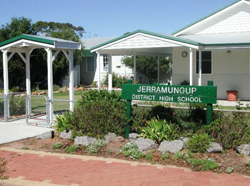
DISTRICT HIGH SCHOOL, JERRAMUNGUP #5 |
|
|
|
Every endeavour has been made to accurately record the details however if you would like to provide additional images and/or newer information we are pleased to update the details on this site. Please use CONTACT at the top of this page to email us. We appreciate your involvement in recording the history of our area.
|
|
References: Article: Internet Image: 1, 2, 3, 4, 5 Internet
Copyright : Gordon Freegard 2024 |